Connecticut Map

go-connecticut.com

Our new sites are now in beta, tell us what you think

Mystic, Connecticut - Transportation

Maps, Directions, Airports, Rental Cars, Shuttles,...

Transportation information for Mystic is provided below. Travel information includes driving directions, maps, airport information and more.

Results


The nearest airport is the T.F. Green State Airport located approximately 40 miles northeast in Warwick, RI. . Several large airlines such as Delta Air Lines, Southwest Airlines, Continental Airlines, and more offer non-stop flights to major cities across the nation. An alternate option is the Bradley International Airport located approximately 65 miles northwest in Windsor Locks. The airport is serviced by several major airlines such as Delta Air Lines, Southwest Airlines, United Airlines, and more. Non-stop flights are available to most major destinations in the nation such as Atlanta, Baltimore, Houston, and many more.

  • Transportation Services

Enterprise Rent-A-Car Save 50% on Weekends. Great Cars and Free Pick-Up. BOOK NOW! Enterprise Rent-A-Car offers great rates and great service. Choose from over 6,500 locations near your home, work or destination. Enterprise even offers vans and SUVs for that special trip.

Basic Directions

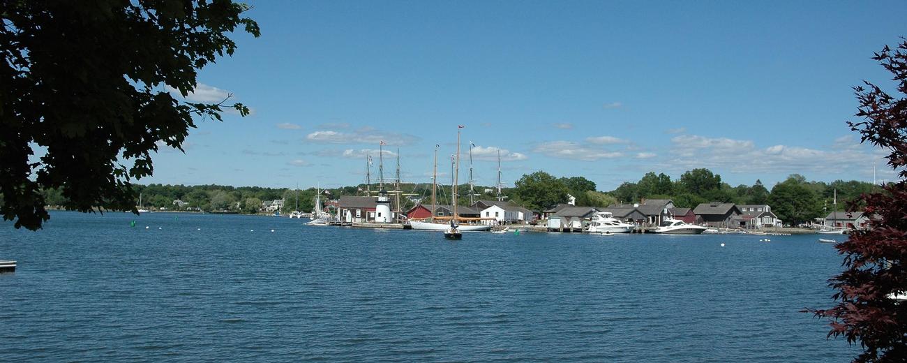
Mystic is located in southeast Connecticut just off I-95.

Customizable Directions
From:    To: 
Language: 

Formatted DirectionsMap

Email Page Link

Complete the form below to email this page to a friend or family member's email. You can send yourself an email as well. Your email and your recipient's email will NOT be shared with anyone. See our full Privacy Policy for details.
Your name:
Your email address:
Friend's email(s):


Send yourself a copy: Yes No
Subject:
Body: